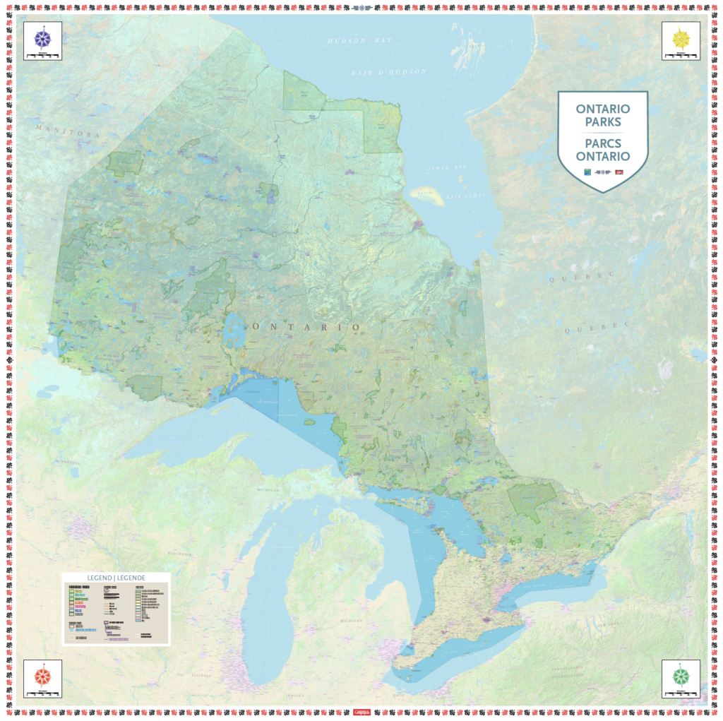
This map highlights the system of provincial parks across Ontario, as well as national parks, other protected areas, land cover, First Nations reserves, and more.
Accompanying this map are 15 themed learning activities connected to the Ontario Social Studies and Geography Curriculum and the Canadian Geography Learning Framework. These activities focus on Ontario’s unique landscape, biodiversity, history, cultural heritage, geology, science and research, ecology, and much more! At the heart of each learning activity is an encouragement to everyone who steps on the map to get outside, into parks and green spaces, and to explore this beautiful province.