This resource is no longer touring. If you would like to inquire about having this map at your school, at your own expense for shipping, please contact us.
We also encourage you to download the activities and use the tiled map associated with this Giant Floor Map (see below).
Explore an important moment in Canadian history through a geographic lens.
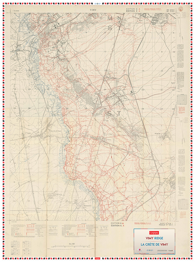
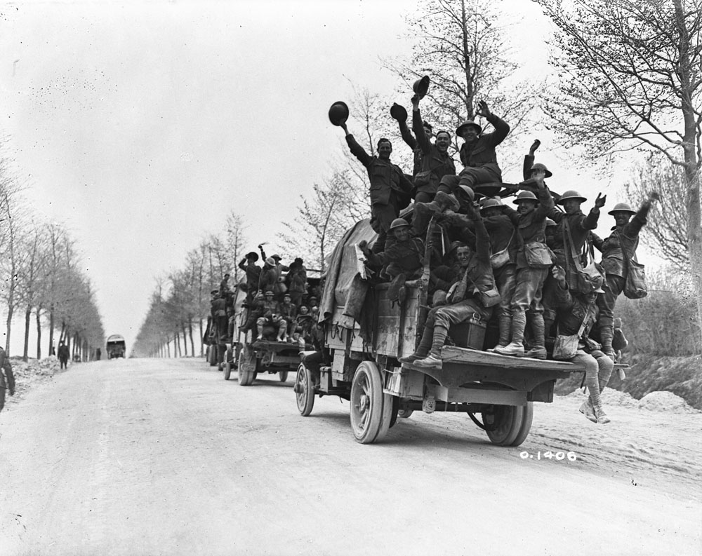
In the early morning mist of April 9, 1917, soldiers from the Canadian Corps left their trenches for an attack on German-held Vimy Ridge. By April 12, the entire ridge was under Allied control. It was the first time in the First World War that all four Canadian divisions fought on the same battlefield, and when Hill 145, the highest feature on the ridge, fell to the Allies, the operation was considered a decisive success. The ridge remained in Allied hands for the rest of the war.
This Vimy Ridge Giant Floor Map is Canadian Geographic Education’s first replica of a historical map. To provide students with the best possible historical map of the ridge, we made it out of two original First World War maps sourced from the McMaster University Map Collection. The Vimy Ridge Giant Floor Map’s 10 accompanying learning activities will have students reading and interpreting trench maps, exploring the physical landscape and weather of Vimy during the battle, analyzing the role of the Canadian Corps, reflecting on war poetry and war slang, and examining the location and significance of the Vimy Memorial.
Tiled Map Version
Teachers can now download this map in a smaller size as a tiled map. All activities listed below can be adapted to be used on this map. Download tiled map here.