Unfortunately, this resource is no longer touring. If you would like to inquire about having this map at your school, at your own expense for shipping, please contact us.
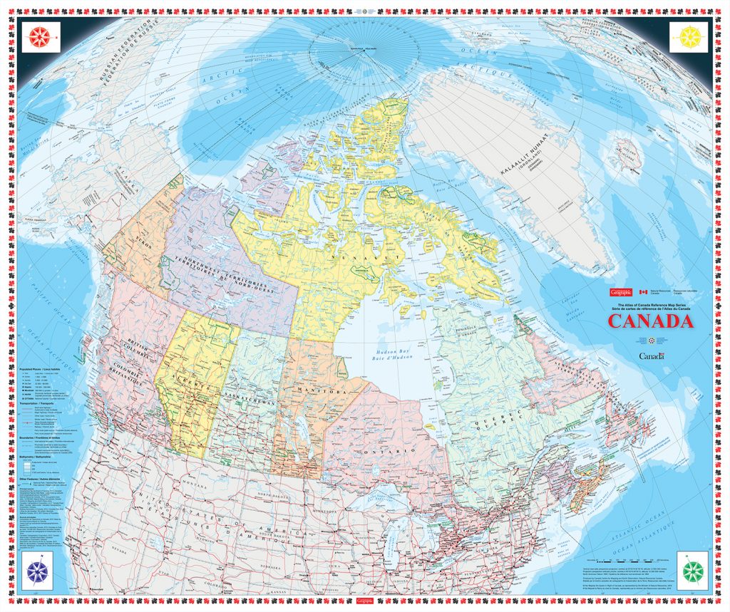
This Giant Floor Map celebrates the significant role GIS and geospatial technologies play in our day-to-day lives.
Geographic Information Systems (GIS) technology plays an essential role in today’s world. It is used in all levels of government as well as in business, education, health and natural resources; GIS is undoubtedly a fundamental part of our lives.
The accompanying 10 curriculum-linked lesson plans were created to help introduce essential topics, such as map-reading skills, while also helping students learn about the geography of Canada and the role of the geospatial industry. These lessons will engage Canadian students with topical lessons on the Canadian Arctic, Global Positioning System (GPS), GIS careers, and the importance of GIS in today’s world.