This resource is no longer touring. If you would like to inquire about having this map at your school, at your own expense for shipping, please contact us.
We also encourage you to use the lesson plans below and explore them using our tiled map (see below).
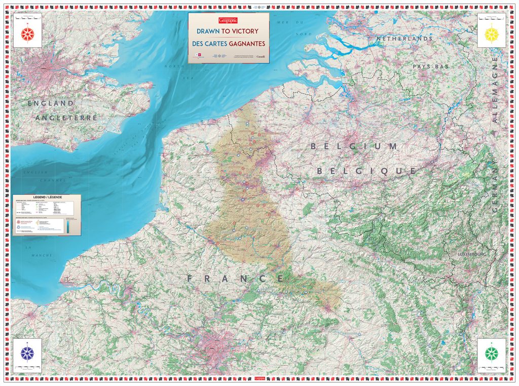
This map highlights not only the geographical location of the First World War but also the extent of the Western Front and major battles, specifically highlighting battles with major involvement from Canadians.
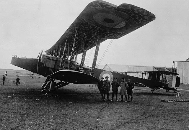
Drawn to Victory is part of a First World War commemoration project aimed at educating Canadians on the evolution of aviation, aerial photography, and cartography. With help from each of the 10 curriculum-linked learning activities, students will discover the little-known story of how thousands of Canadian pilots and Canadian topographic surveyors contributed to the past century’s greatest map renaissance. They will learn that the greatest weapon used in the First World War was not fashioned from metal but paper.
Tiled Map Version
Download this eight-page tiled map to help students learn about the First World War from a geographic perspective.
