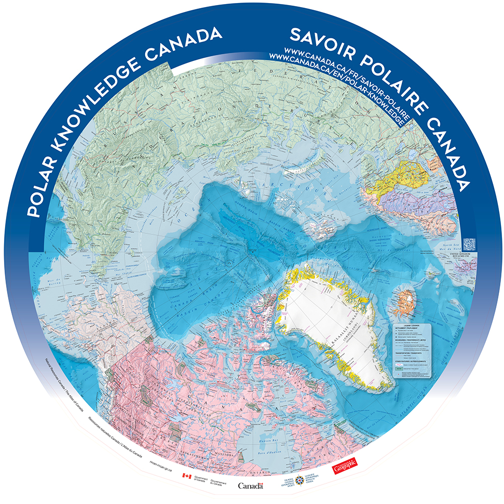
Polar Knowledge Canada

Kit includes
- Teacher’s guide
- Hard copies of all learning activities
- All required materials for 10 activities (download activities below)
Map dimensions
4.6m (15.09’) x 4.6m (15.09’)
Circumpolar Gym Size9.2m (30.18’) x 9.2m (30.18’)
Booking Period
Special request only
This map looks at the world from a circumpolar perspective. Use this map to explore the Arctic region and discuss why it’s so important.
This Arctic Circumpolar Map is unlike any other Giant Floor Map created by Canadian Geographic Education. Projecting the Earth from the Arctic circumpolar region gives students the opportunity to stand at the top of the world and view Canada and the world from a new perspective. The following 10 learning activities were designed in partnership with Polar Knowledge Canada (POLAR). These activities help to inform Canadian students about POLAR’s commitment to advancing Canada’s knowledge of the Arctic, strengthening Canadian leadership in polar science and technology, and promoting the development and distribution of knowledge in both circumpolar regions, Arctic and Antarctic. This teaching resource will provide students with the opportunity to learn about animal migration, communication and new technologies, climate change and much more.

Tiled Map Version
Teachers can now download this map in a smaller size as a tiled map. All activities listed below can be adapted to be used on this map. Download tiled map here.
