*Note: Teacher’s guide and activity cards will be available for download here soon.
Canada: A Maritime Nation
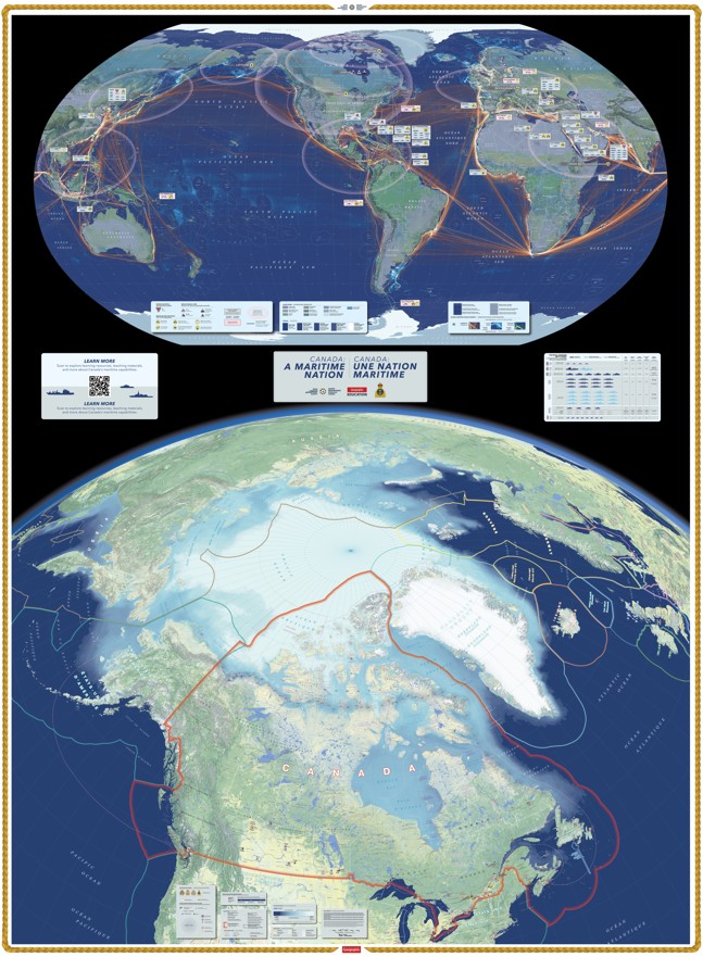
Trace the routes that connect Canada to the world. Discover the ports, coastlines, waterways, and Arctic passages that shape our maritime nation. Explore stories of naval service, trade, communities, and life at sea. Follow the movement of ships and goods, uncover the places where Canada’s maritime history unfolded, and consider the challenges of distance, ice, security, and a changing ocean. See how Canada’s three oceans connect us — and shape our future.
The Canada: A Maritime Nation Giant Floor Map brings Canada’s maritime geography to life, inviting learners to explore the vast network of waters, communities, and connections that surround our country. Developed in partnership with the Royal Canadian Navy, the map highlights Canada’s maritime history and identity while encouraging students to consider our relationship with the ocean today. The map comes with a teacher’s guide and curriculum-based lesson plans that explore topics including maritime geography, naval history, trade and transportation, Arctic sovereignty, marine environments, emergency response, and Canada’s connections with the world.